Landslide Risk Assessment in Eastern Kentucky, USA: Developing a Regional Scale, Limited Resource Approach
Abstract
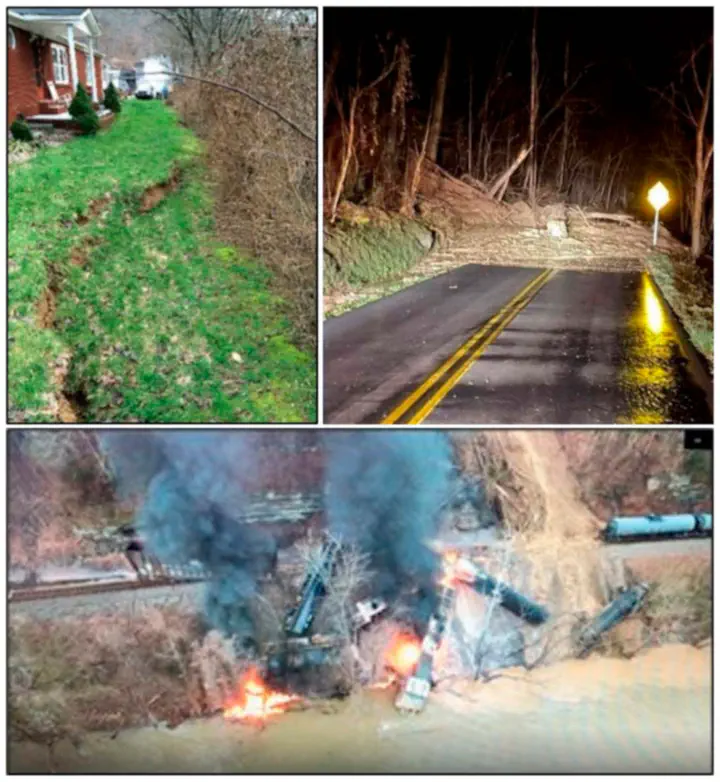
Rapidly changing remote sensing technologies (lidar, aerial photography, satellites) provide opportunities to improve regional-scale landslide risk mapping. However, data limitations regarding landslide hazard and exposure data influence how landslide risk is calculated. To develop risk assessments for a landslide-prone region of eastern Kentucky, USA, we assessed risk modeling and applicability using variable quality data. First, we used a risk equation that incorporated the hazard as a logistic regression landslide susceptibility model using geomorphic variables derived from lidar data. Susceptibility is calculated as a probability of occurrence. The exposure data included population, roads, railroads, and land class. Our vulnerability value was assumed to equal one (worst-case scenario for a degree of loss) and consequence data was economic cost. Results indicate 64.1 percent of the study area is classified as moderate to high socioeconomic risk. To develop a more data-limited approach, we used a 30 m slope-angle map as the hazard input and simplified exposure data. Results for the slope-based approach show the distribution of risk that is less uniform, with large areas of over-and under-prediction. Changes in the hazard and exposure inputs result in significant changes in the quality and applicability of the maps and demonstrate the broad range of risk modelling approaches.